|
About
IGC2KML
ais2kml
fs2kml
Back
|
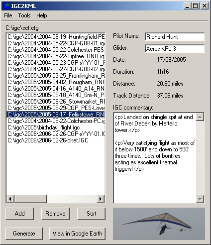
IGC2KML
Groups and converts IGC files for viewing in Google Earth adding statistics, animations, and automatically trimming the tracks. Full features as follows
- Auto generates gps track summary information:
- Date
- Time
- Pilot
- Glider
- Distance
- Average speed
- Track distance
- Average track speed
- Start grid reference
- Finish grid reference
- Duration
- Add a text commentary about the track
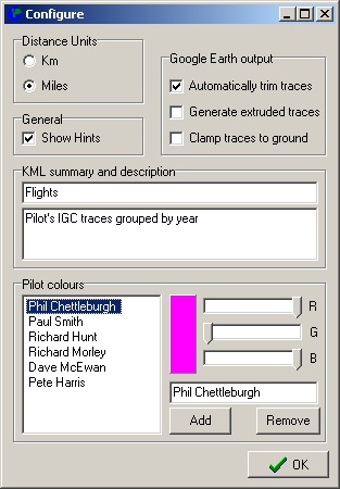
- Different track colours per pilot / owner
- Works in miles, km, feet, metres
- Collates in date order with a folder per year, month or day
- Configurable detection of the active start and stop of track
- Option to extrude traces to ground to see flight path
- Option to add shadow to ground to see flight path
- Option to force trace to follow ground for walking / vehicle traces
- Create dummy IGC files for flights with no GPS track
- Option to create folder of playback traces using Google Earth time controls
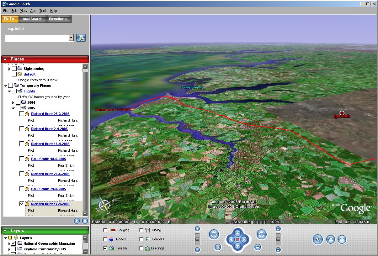
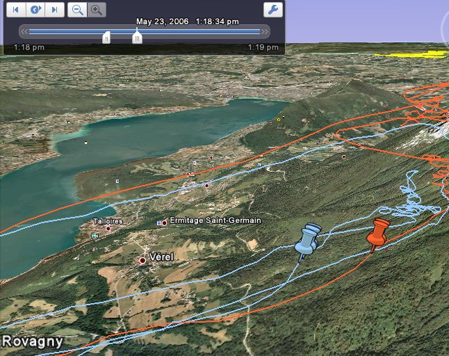
Example screenshots:
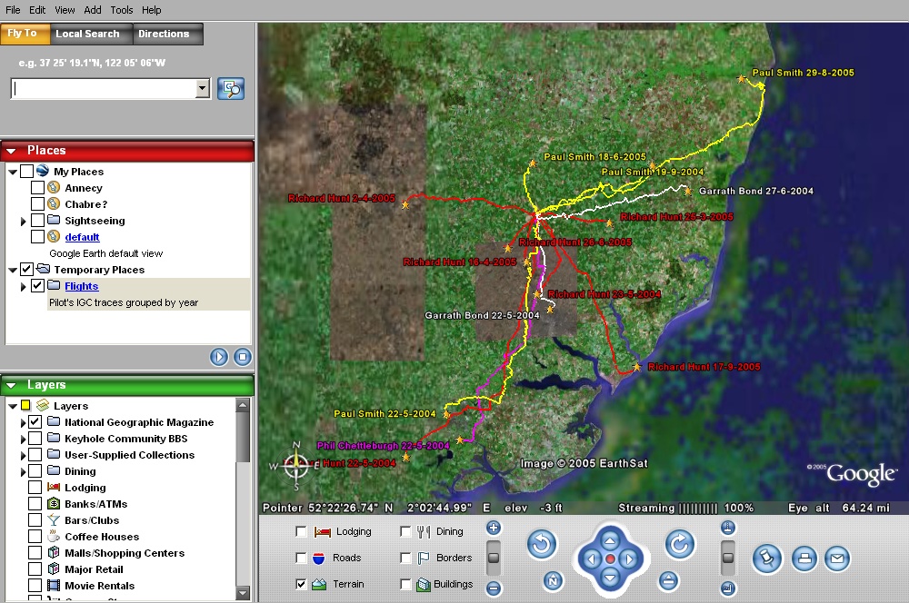
Example Google Earth output:
If you'd like to donate for IGC2KML click here:
View example output here.
Download the version 3.7 installer here
To install, simply click on the link above and select run. Once it has downloaded, follow the instructions and it will automatically install and add a short-cut in your 'Start' menu.
|